π
2022-05-12 01:01
in Hiking
Hike Track: https://connect.garmin.com/modern/activity/8812486149
It had been a while since I last went, nice to go back up with friends:
It had been a while since I last went, nice to go back up with friends:


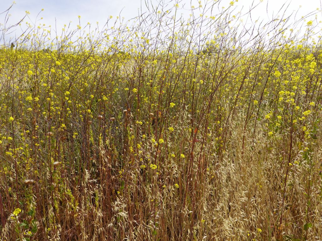
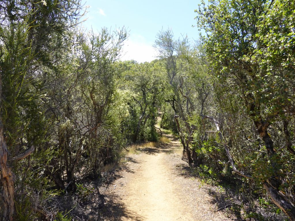
weather was unseasonably cool, nice for hiking up


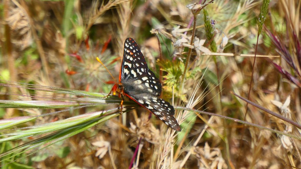
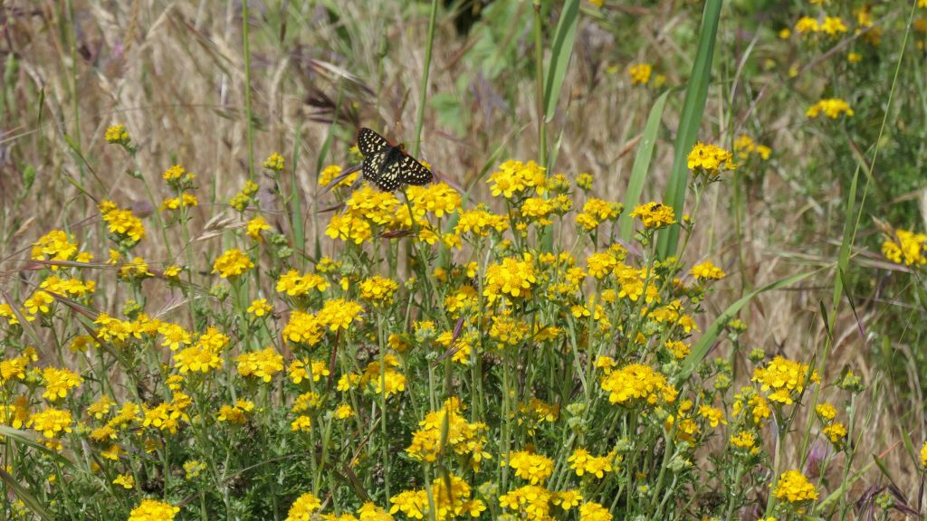
lots of butterflies


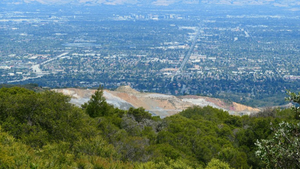
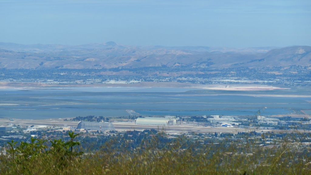
A few views from the quary, not the best bit


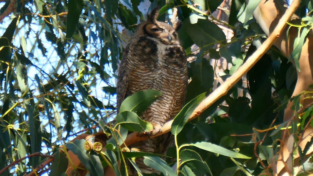
black mountain again, but this time we earned it


we went down the other way, that's the PG&E trail that we took up

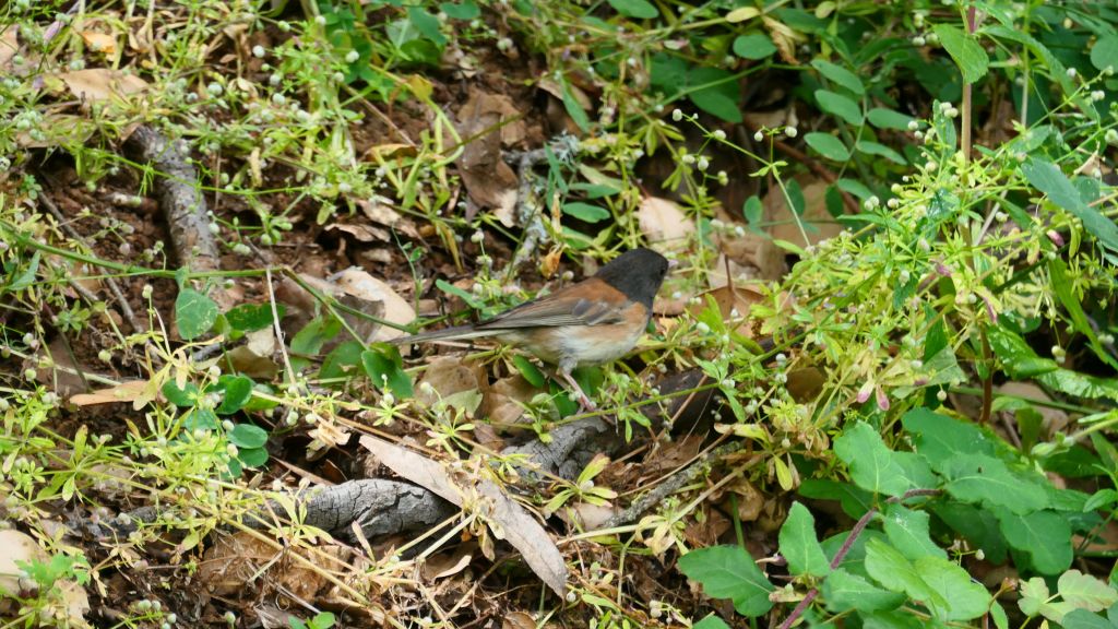
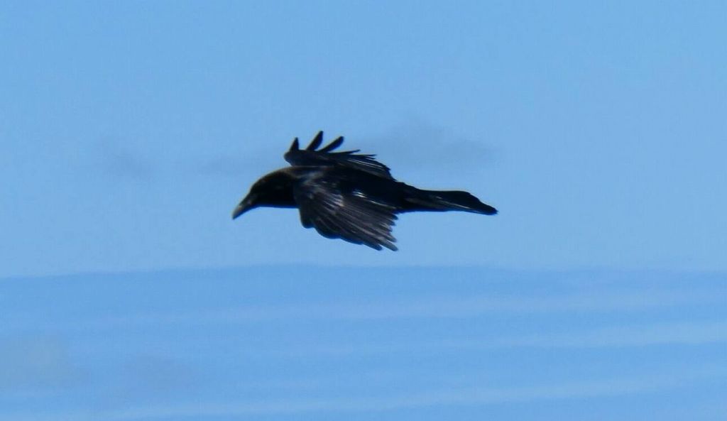
hummingbird


![]()


See more images for Rancho San Antonio Hike Up to Black Mountain