This allowed for some nice lower altitude pictures though :)
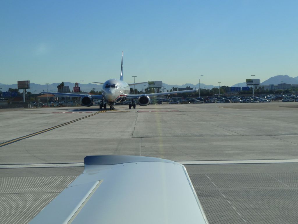
This airliner had to hold for me to take off. I got out as quickly as I could :)

This airliner had to hold for me to take off. I got out as quickly as I could :)
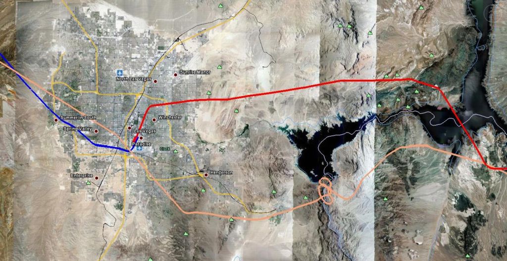
overall view of Las Vegas to Grand Canyon
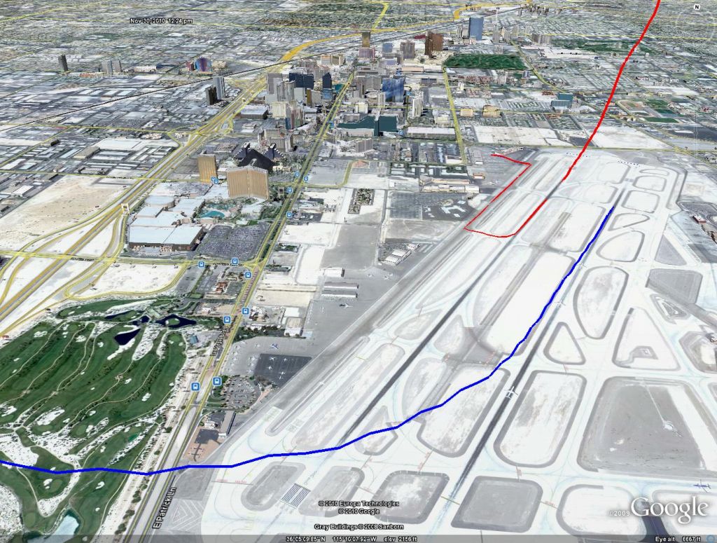
Las Vegas McCarran takeoff (blue) and landing (red)
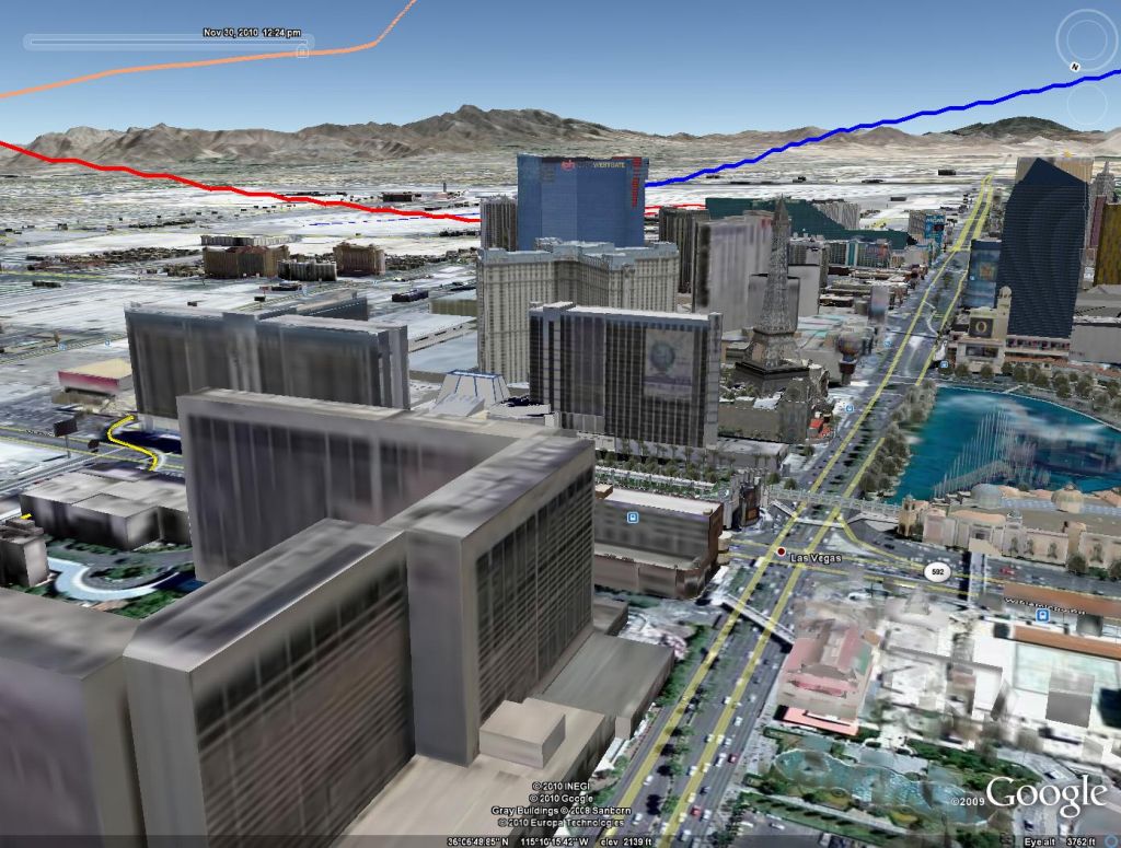
Other shot from the strip showing the first overfly on the way to GCN in pink
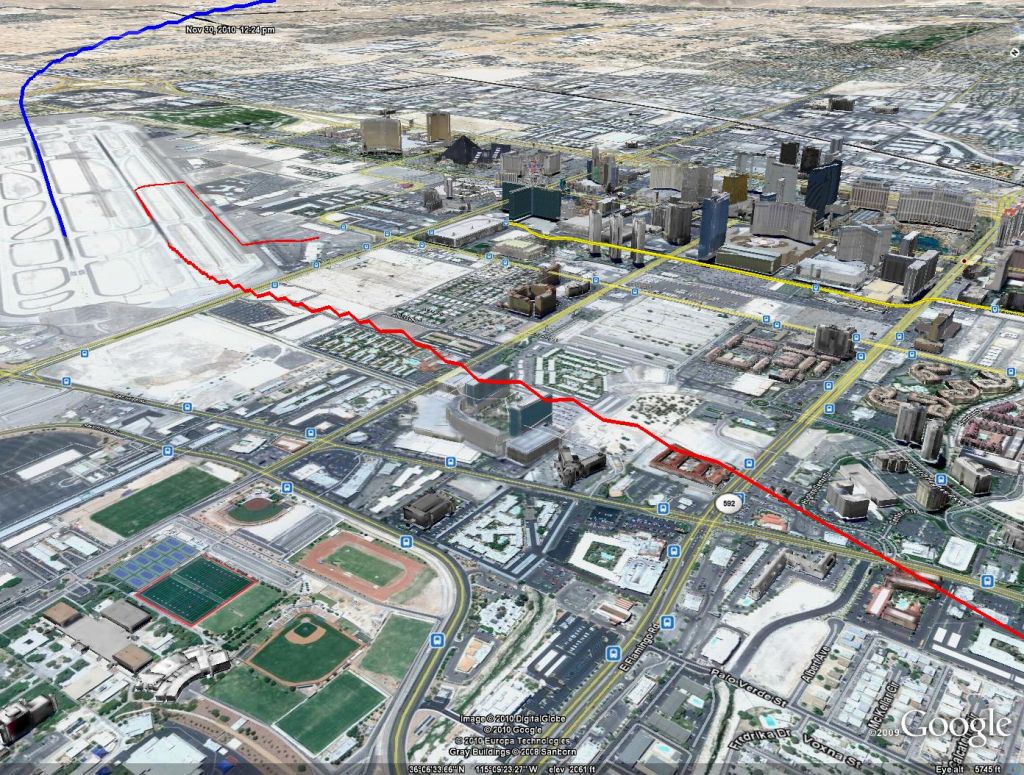
interesting staircase effect (I wasn't flying that way :-D)
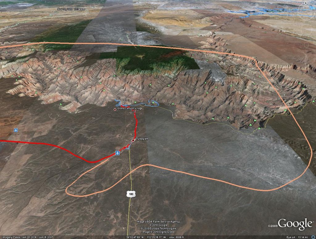
Grand Canyon Airport and South Rim
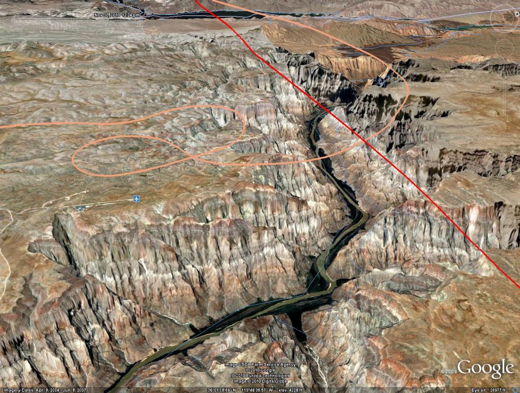
A quick loop around Grand Canyon West and the Skywalk
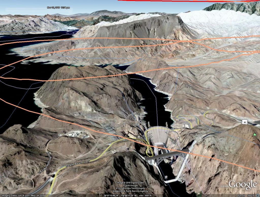
Hoover Dam with newly constructed bridge

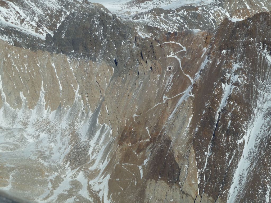
Bishop Pass trail to John Muir Trail?
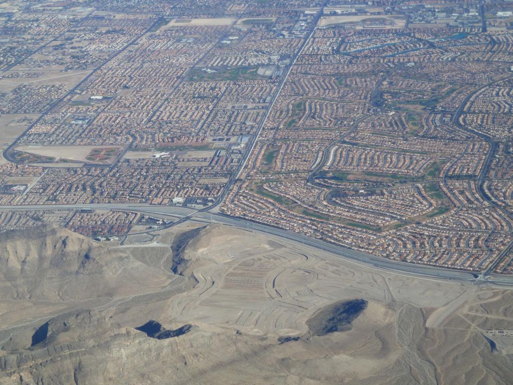
Vegas Suburbs, including a new one being built

Google Earth already added the new bypass bridge
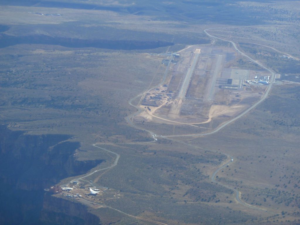
Grand Canyon West with the Grand Canyon Skywalk
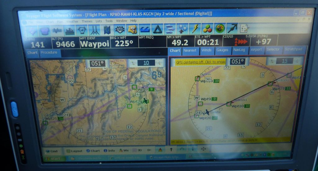
I had a follow the magenta line GPS track plotted to get in the hard to follow corridors
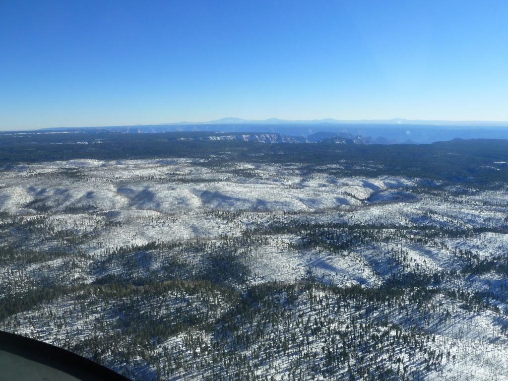
I then crossed to the higher altitude North Rim which was snowed in
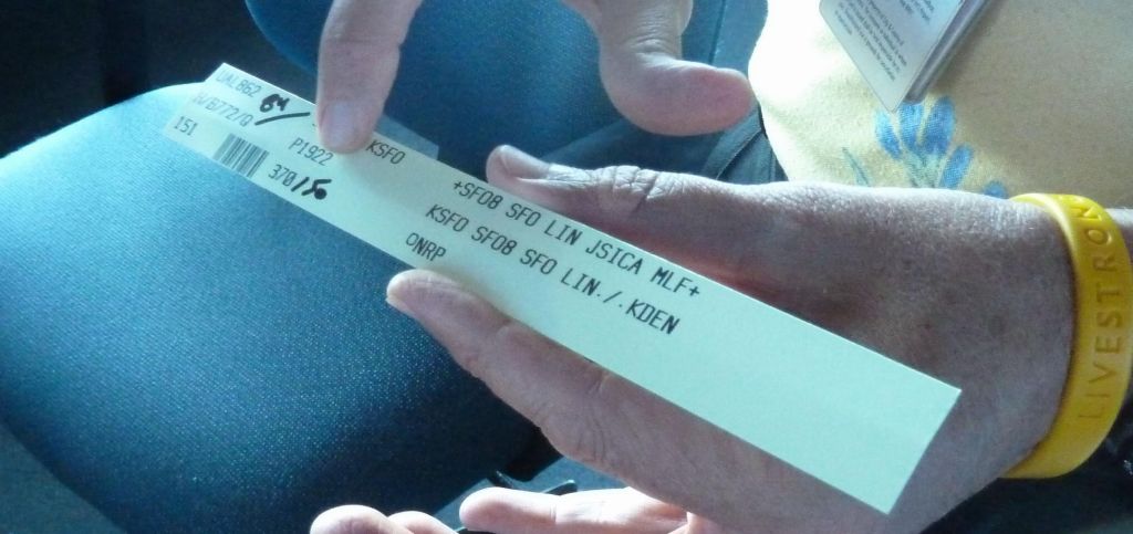
this is a clearance takeoff strip with assigned runway and initial altitude restriction
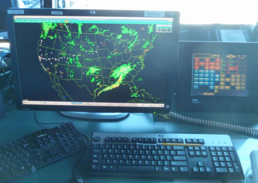
the weather computer runs linux
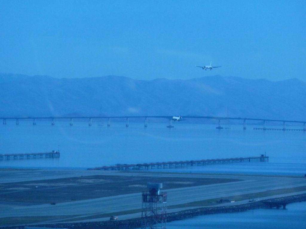
planes arriving almost side to side