π
2010-11-30 01:01
in Flying, Nflying
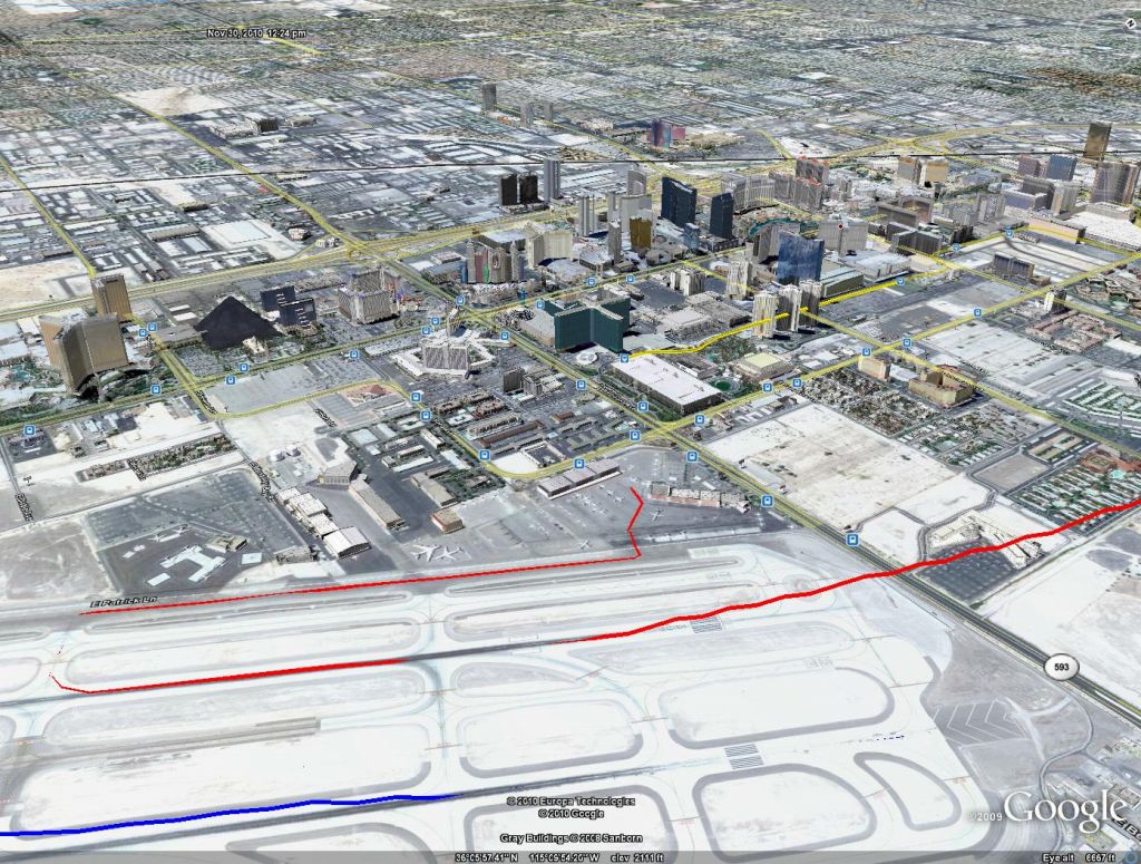
I made a few shots of the GPS track with Google Earth. The Las Vegas ones are very nice, although it's interesting to see the absence of smoothing of the GPS data and resulting staircase effect (they should probably fix this).

overall view of full flight

overall view of Las Vegas to Grand Canyon
 and landing (red)")
Las Vegas McCarran takeoff (blue) and landing (red)

Other shot from the strip showing the first overfly on the way to GCN in pink
")
interesting staircase effect (I wasn't flying that way :-D)

Grand Canyon Airport and South Rim


A quick loop around Grand Canyon West and the Skywalk

Hoover Dam with newly constructed bridge
See more images for Google Earth Render of Hoover Dam and Grand Canyon Flight