π
2010-11-30 01:01
in Flying, Nflying
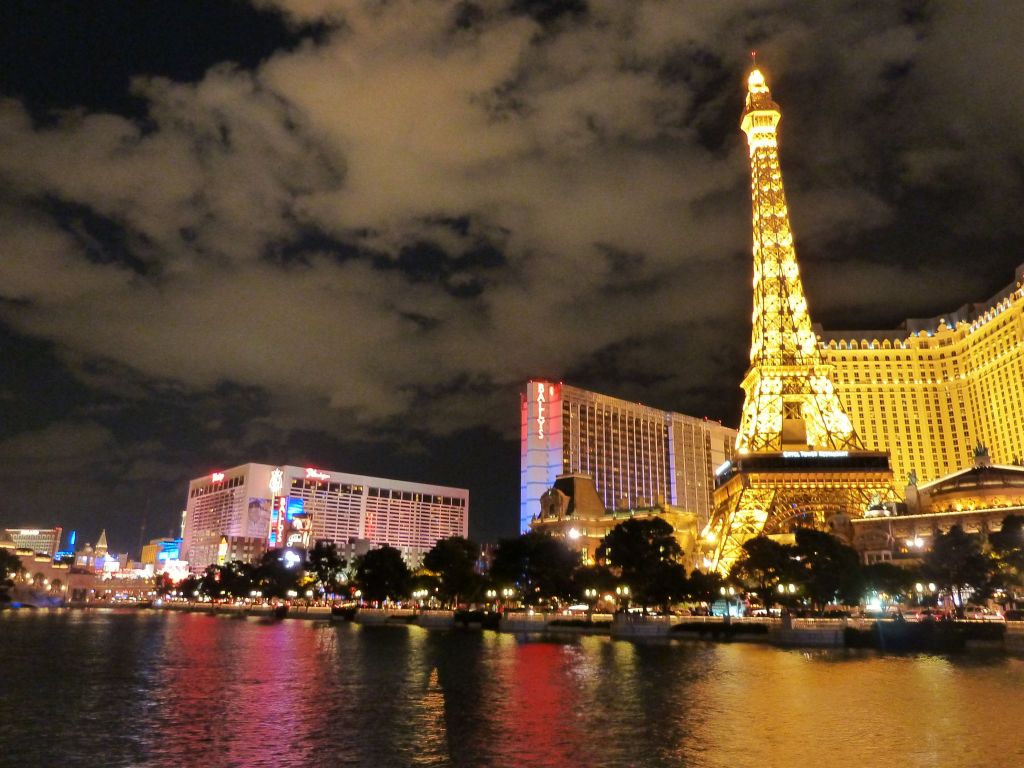
After 3 days in Vegas, it was time to go home. It was an uneventful flight with pretty nice views.
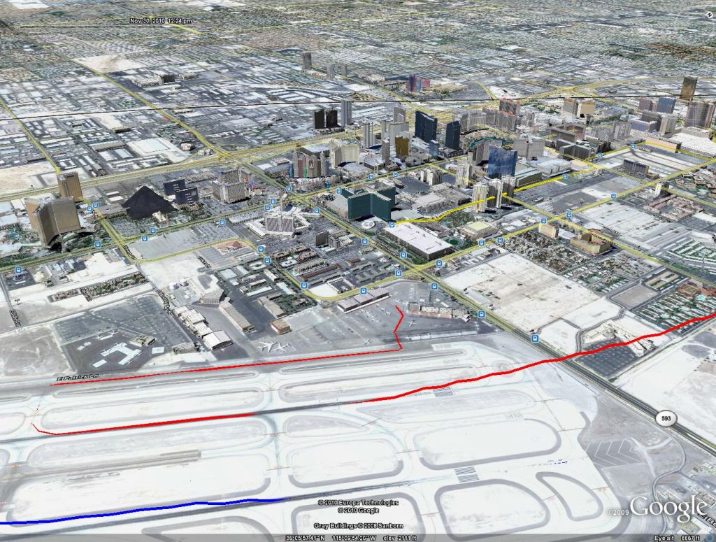
Takeoff from McCarran was pretty simple, go up, turn right and get out of their airspace :)
This allowed for some nice lower altitude pictures though :)
This allowed for some nice lower altitude pictures though :)
")
This airliner had to hold for me to take off. I got out as quickly as I could :)


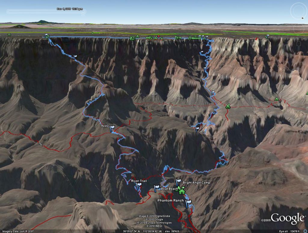
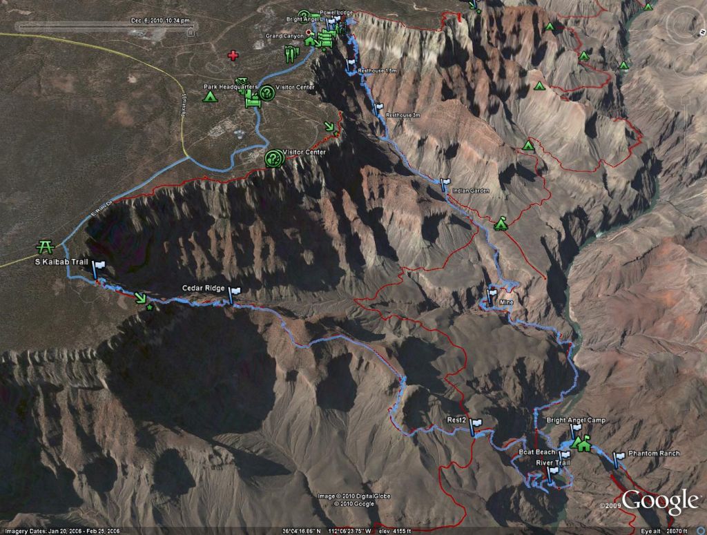
See more images for Flight Las Vegas back to Palo Alto


 and landing (red)")

")


")


")


")


")


